Tuesday, June 5, 2018

Blogger disclosure from EU Google and Boat Logs sailing Marblehead


From the management:  We are supposed to let you know about these policies because it's only fair.

https://policies.google.com/technologies/partner-sites

                 *                                              *                                           *

THE best log book and we've tried several.  This is it for ease of use.

https://www.westmarine.com/buy/evergreen-pacific--the-evergreen-pacific-log-book--561407?recordNum=1

This one does not come up when you google boat logs.  However, they should put their product on the search because it is unlike the other bound books.  The cover of the log has a surface that doesn't absorb water, and it's spiral bound.  Note the side tabs for quick access.  I just put a label on the front for the date.


Another popular log is the Nouse Red log book.  It has a lot of good check lists on its pages to remind the captain to check all the areas.


It's great for as-you-go, but there is no fuel log or maintenance tabbed pages to check quickly when you buy fuel or want to see when you installed something, pump outs, boat fixes, etc.  The date in the Red book is on the lower right not at the top of the page so I write it in.

HURRAY  GOING SAILING

We sailed with Drew's, sister and brother, and nephew in Marblehead when they visited us after our nephew, Jason's wedding after Memorial Day weekend. 
 Gabe, Graham, me, Sara, and Drew.


It felt great to be back in Marblehead Harbor, see Marblehead Yacht Club, fall into our old routines, Shubie's Deli, Java House, etc.  There was little wind, but just nice to take them on a gentle outing. 

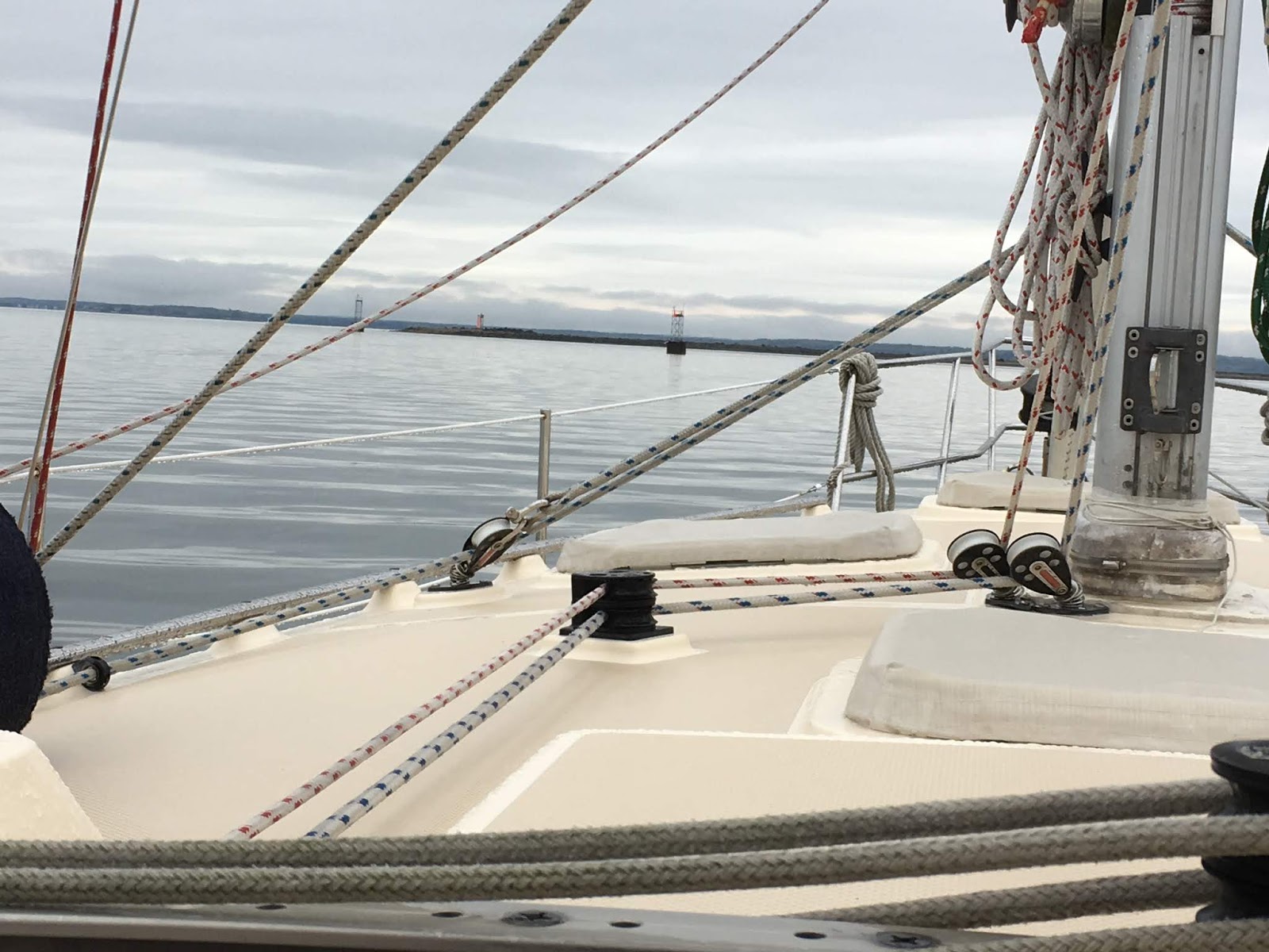
Note the glassy seas with little wind. 
The Harvey Gamidge, a training rig for sailors, has full sails but may have an engine on.


Sailing back into the harbor with a gentle south wind on the nose.  Note all the boats are facing the causeway at the end of the harbor.   A lot of mooring balls lie empty awaiting the boats to totally fill this harbor with over 1,000 boats.
Ciao,
Until we sail again.

Sunday, May 20, 2018

RED BROOK HARBOR, POCASSET, MA CAPE COD TO HOME PORT

On our way -- the last leg of the trip.   Capt. Drew has kept the boat running well and problem free this trip.  Amazing that we didn't have anything go wrong he couldn't fix.  Smooth waters most of the time.  Even in small swells the stove is on a gimble and swings with the motion.  Scrambled eggs stay in the pan.


No sailing, but very comfortable on the boat.


Gray days with all of the fog and clouds.

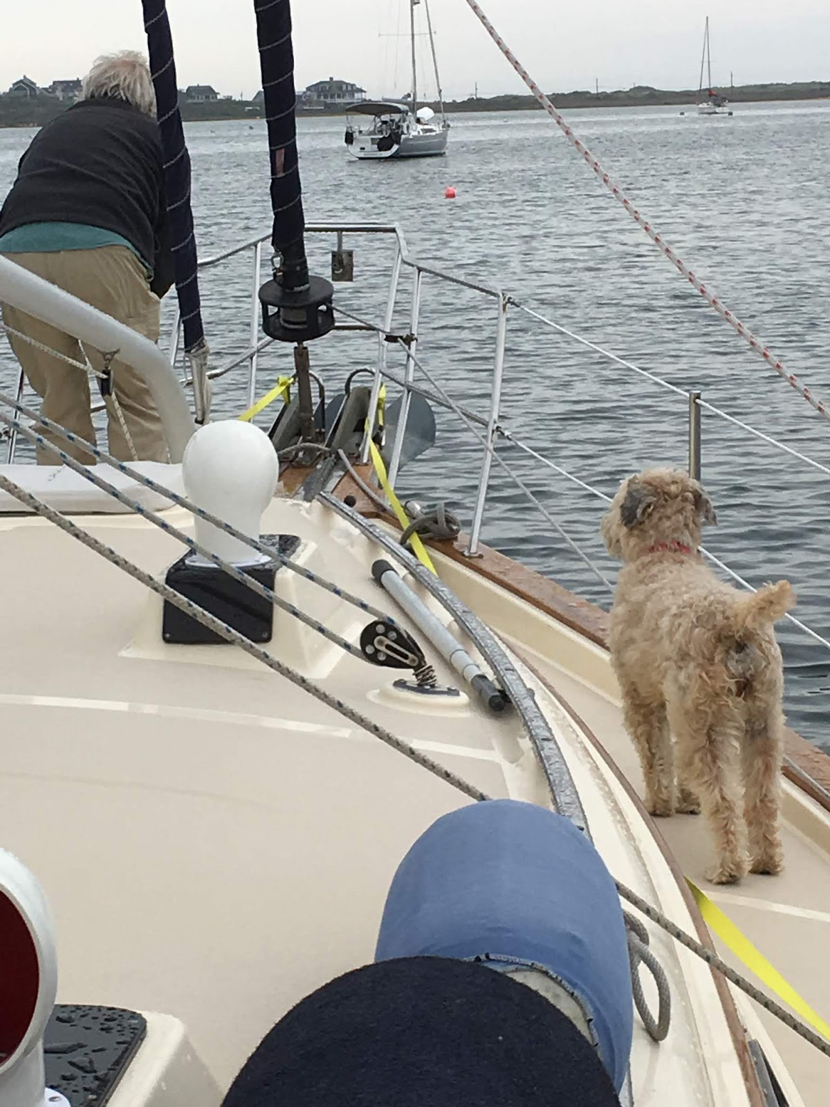
We got into Parkers last night and grabbed a mooring ball.  It was super easy because there was zero wind.  Two ropes tied down the line to the cleats.  Quiet night except for a steady drizzle.  Took Mazu out to the bow a few times. She is just excited but won't go.    The water is glass.  I could imagine it as ice.  I'd put on my skates, slide off the boat and skate to shore.  This water is so smooth, like a mirror.


Going out of Red Brook Harbor there is a light house on a point, Wings Neck with a red and green traffic control light.  You can just see the green light on the watch tower.  Very New England.  Air temperature is about 55 degrees.  No more shorts and flip flops - now long pants, a sweater, jacket and sneakers.


The Cape Cod Canal can be very tricky because it has a 4 to 5 knot current that can boost the boat or cause terrible motion if going against it.  Sailboats have to go with it.  Drew read up in an old Eldridge information about the Canal and figured we needed to go on the "flood" tide that runs to the east from Buzzards Bay to Cape Cod Bay. Checking the times of the tides and currents he found it was best to leave early morning; 6:45 am.


 This railroad bridge is a lift bridge.  It's mostly open but closes 2 to 4 times a day and no one can predict when except to say between 7 and 11 am and then in the afternoon between 3 and 6pm.  It carries out the Cape Cod trash.  During the summer there are a couple of passenger trains Friday - Sunday.  We hoped to hit it right and luckily we did at 7:30 am.


Through the canal we hit 11.2 K zooming right through.  We stopped at Sandwich Marina at the mouth of the east end for fuel.  Instead of 2 hours at 6 knots it took a little over 1 hour at the increased speed.
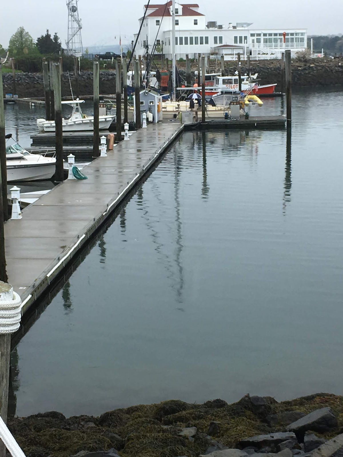
Here is the fuel dock and Shawnee tied up for a fill up.  Note our yellow dinghy on the stern, "Tweety."  I ran Mazu up the hill for a break.  It was hard for her to choose to come back on board.

 We scooted back into the current of the canal and headed east for Cape Cod Bay.
Out of the canal you can see we were able to just stay ahead of the rain.   We're the blue dot heading toward Boston.  (Took a picture of the weather app on my phone.)


Since Cape May, NJ we have noticed a ketch running parallel to us.  Sometimes way out on the horizon, entering Block Island at Salt Pond just ahead of us, and now coming out of the canal at the same time.  She is "Micky Finn,"  a 50 ' ketch and travels much faster, but somehow we've stayed together.  Drew talked with him on the VHS radio and found out he's from Portsmouth, NH.  Wish we could send him this picture.  It's always hard to get a picture of your own boat.  Today the sea melts into the steel blue sky like floating on air.


So sayonara til we "sail" again.  Maybe sail into some sunsets that we haven't had lately with all the gray skies. 

We sailed into our mooring in Marblehead Harbor on Thursday afternoon.  In time for the champagne tasting at Shubie's we came aboard with delicious takeout salmon and treats for dinner with this final sunset.


Homw sweet home with Abbot Hall's spire sticking up on the horizon and not too many boats on their moorings yet.  Happy day everyone.  Thanks for traveling along with us.  I'll blog the next time we head out for a real Marblehead sail.

Wednesday, May 16, 2018

CAPE MAY TO BLOCK ISLAND to PARKERS on CAPE COD

To follow us on our trip  go to:

share.garmin.com/svshawnee

It's taken us 3 weeks to get to Block Island from Florida with fairly steady progress.  The weather reports have changed dramatically to the point that the real weather that's sort of accurate is forecast only about 24 hours ahead.  Many times when the forecast is 4 days out it's totally wrong.  Can't really plan. Several times we almost didn't leave, but then the forecast was changed 180 degrees, and we could go.  None of the heavy winds that were predicted hit us.     


Since we hugged the coast this time as we went north we did not lose internet connection.

Nothing to report except some pictures that show off the ocean.  We did zero sailing.  Motored the whole way with light winds frequently on the nose. 

We left Cape May, NJ Monday, May 14 at 6:45 am with a number of power boats a head of us.  It only took a day and a half to get to Block Island some of it through incredibly thick fog.  Thanks to radar, tracking, and auto pilot we could take it easy as the boat wended her way.  There are instruments on the panel ahead of me here.  So I just sat up once in a while, looked at the radar to see if any boats were in our way and be sure we stayed on track.  Easy Peasy.  Mazu still panting and shaking.   I think this is her last voyage.  I'll spare you gray photos of the fog.


This is just before the huge storm that hit the New York City area on Tuesday where 2 people were killed.  The forecast was rain and higher winds.  These are the cliffs of Block Island, RI.  As you can see it's pretty calm and sunny. 

  Here is another boat just entering New Harbor, Great Salt Pond in Block Island around Tuesday, May 15th at 4:30 pm.


Our track to Block Island primarily through thick fog with no visibility.  Then the sun came out just as we got closer.  Good ole Block Island has banned the sale and use of balloons and sky lanterns because of their harm to wildlife and the environment.


Just as we got into the harbor there were whitecaps and a huge wind came up.  I think we got in just in the nick of time.  The storm that hit New York hit here.  We went way in and picked up a mooring.  There were only 4 other boats on moorings.  With no one around it was free.  The whole place looked like nothing was open.  We didn't drop the dinghy for Mazu because it started to rain.  We closed up everything, Mazu went on the bow, we turned on Netflix "Longmire,"  and felt cozy in our snug salon.   The next morning was so calm, glassy still water.


amazing reflection in the mirrored waters.

Block Island Town dock 


Getting off the mooring in calm wind and flat seas to head for Parker's at Pocasset,  Cape Cod


Passing Block Island Light House on our way toward Buzzard's Bay.  The rain was just behind us, but didn't catch up with us until we were on our mooring at Parker's.


The good news is that we've gone a few days with NO boat fixes.  Tomorrow, Marblehead - through the Cape Cod canal early.  The canal is about 10 miles then 45 miles to our mooring and the launch at Marblehead Yacht Club.  We are going to Shubie's (a family owned long time deli market in Marblehead) champagne tasting, free, 4-7 to celebrate our arrival.


To contrast from the gray days, here is our pink Bromeliad all the way from Fort Pierce, FL where we bought two at the Farmers Market.  After over 3 weeks hanging in the cockpit it's still blossoming a new violet flower every day.


Sunday, May 13, 2018

Left Hampton and Using Weather Apps

23 hours to Cape May.  Took the calm weather for one day mostly motoring.

Leaving Hampton in the Chesapeake.  Fort Monroe from the water.  (Note very calm waters)  There is a tunnel under the water here to go over to Norfolk and come out at Fort Wool on the other side.


Fort Wool


Nice day as we exit through Cape Henry and Cape Charles to the north.  Note the glassy waters.


We sailed north over night.  We encountered a million biting flies out on the ocean that happens at this time of year.   I stood watch down below looking at the instruments.  It was terrible.  We did have a 30 minute sail with the engine off - a wonderful quiet sail.  We motored into the Cape May Inlet about 9:45 am.
A bit rough.  Two rock jetties on either side.  Tide coming out.  Wind against the current.  I'm at the helm swinging around.  It was fun.


We checked in at Utsch's Marina at 10:30, just before the fixed bridge, that's before the canal that is a short cut to the Delaware Bay.  The bridge is 55' not the usual 65' feet for most sailing yachts.
   After securing the boat we immediately went over to the Lobster House for a nice meal.

We decided to explore Cape May a little by bike.  First, we stopped at a little fair for the arts in Cape May at one of it's famous historic homes.


We also biked down to Beach Avenue to a Show House (no inside pictures were allowed), another benefit for Cape May arts.  The show house was built in 1911.  The developers decided streets be made twice as wide as any of the other streets, house lots twice as large as any of the other streets, the houses at least 20' back from the curb, and that they cost at least $5,000.  This show house cost $35,000 in 1911.


Across the street is the beach.

A typical beach house in Cape May on the extra wide Beach Avenue.

Okay, okay we can't have too much fun.  Drew came back to the boat and built and installed a new LED light for the tachometer.


On Mother's Day we changed the oil.  Necessary every 150 engine hours.  We are at 135 hours and about to go 250 miles to Cape Cod (40 hours.)  First we have to remove everything from the aft cabin, all the cushions and bedding.  Here it is empty.


We put all the bedding and cushions in the fore cabin.  What a mess.

 You can just see Drew's hand replacing the oil filter.  Here's the supplies to pump out old oil and put in new.  It's a process and takes about 3 hours for us.  The marina takes the old oil for a small fee and recycle/reprocess it somehow.

Now to figure out when to leave sorting through all of the weather apps information.

Oh and Happy Mothers' Day to everyone.  Nice to hear from both my kids and all the grands.  Chris, I miss our walk at Arnold Arboretum on this day.


Mazu sleeping in while we work.


Friday, May 11, 2018

Weather Apps, Leaving Hampton, Cape Henry

Here is a list of some weather apps we use.  It is one of the pieces of information sailors frequently trade with each other.  Predicting the weather is critical to a good passage.

Windy, My Radar, Passage Weather, Predict Weather, Ventusky, Chris Parker ($$$), Pocket Grib Files

Everyone wants to avoid the rough passages.  A rougher patch of weather is described for "salty sailors."  We do not count ourselves in that category.  We are always looking for the ideal:  wind pushing us in the direction we want to go at about 90 degrees to the wind at about 15 knots fairly steady with waves no more than 2' to 3'.  Ugly weather is wind on the nose with steep waves crashing over the bow or wind causing the boat to heel over to the point water is coming into the cockpit.  Weather that rocks the boat so much we must hold on even when we're lying down in the aft cabin is not for us.   We try to avoid all but the calmest waters and winds which means we must motor a lot.  When we go out in nice weather we then need to be back into port before the next stronger wind comes up.  Looking for "weather windows" that last 2 to 3 days is hard to come by for our strict requirements of a comfortable passage.  I guess we have to say we'd rather motor than sail in winds that do not exceed 30 to 35 knot.  Honest sailors will tell you they motor 90% of the time.  All in all those excellent sailing moments are well worth owning a sailboat.

And we are off for Cape May this morning, a 24 hour passage that starts with light winds and grows to 20+ knots from the south as we arrive.

Thursday, May 10, 2018

Historic Hampton Roads

Staying here in Hampton, VA a few days while foul weather passes and Drew makes and installs an LED bulb for the tachometer.  We also provisioned for the next leg to Cape May and Cape Cod.  We saw two movies at the Air and Space Museum Imax, one on Henry Blake, a Brit who traveled the Amazon 11 years as a naturalist in the 1860's and discovered 8,000 new insect species.  The days of the explorers.  And another movie, "Hurricane" on  the huge screen that dropped us in the heart of experiencing a full blown hurricane.  Very well done.

 Here we are on the top of the wall at Fort Monroe in Hampton, VA.


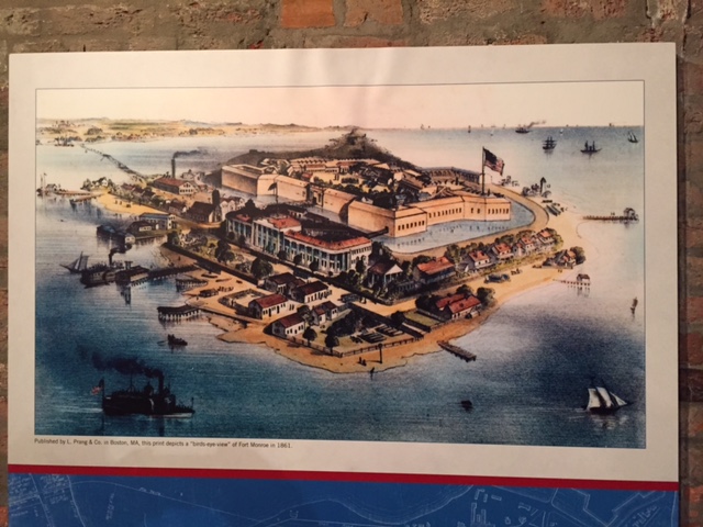
Our another outing we drove to Fort Monroe (2 miles away), a Union Fort built by Robert E. Lee at the beginning of his career.  His first days with his wife, George Washington's granddaughter, Martha Custis were spent here.


  It has a full moat.  Extremely well built and will be here a long time.  The Chesapeake Bay lies beyond the moat on the east side.


This is a completely walled in fort with three gates and a large parade ground with many buildings.  It is now private and restoration of the buildings is taking place .  As they complete restoration they sell or rent the houses and apartments. 


There is a chapel with Tiffany glass windows. 


The 100+ year old live oak trees are huge with spreading branches.