Monday, November 19, 2018

Final Final sail of the season

Saturday, October 6-13

 We hauled everything off the boat: sails, food, clothes, sheets, boat supplies and only left boat parts, an essential sleeping bag in case of, tools, books and log books.

Bins full of bathroom pills and stuff

 Some empty bins after squirreling away in our kitchen and bathroom
 Endless laundry to do

sails away


We actually left South Port Marine on a cloudy, rainy Wednesday afternoon after taking most of everything off Shawnee.
   

   Not happy in full rain gear unhooking the electrical from the dock in pouring rain:


   In still air we motored away past the Casco Bay Bridge, 2nd longest span for a draw bridge in the world (so they say):

You can see the spire of town hall in the background.

You can see the oldest observatory at the top of the hill - used to watch for the barks and schooners arriving from yesteryear and fly their flags for all to see.  It has been restored.

 This ugly apartment building on Munjoy Hill at Portland's east end has the best views of what's happening up and down the Calendar Islands.  I'd love to have a place there.


Coming into Maine Yacht Center - the rain stopped.
 Shawnee at the slip.  No problem pulling in today.
 Mazu happy to be ashore


We made it -- 5 years of sailing south and north and now back at wonderful Maine Yacht Center.  She will be hauled inside for the winter to do some major bright work and other maintenance.

Here's a new idea to keep the gulls off the docks.  Mazu was intrigued.


Friday, September 21, 2018

On to Portland, Maine

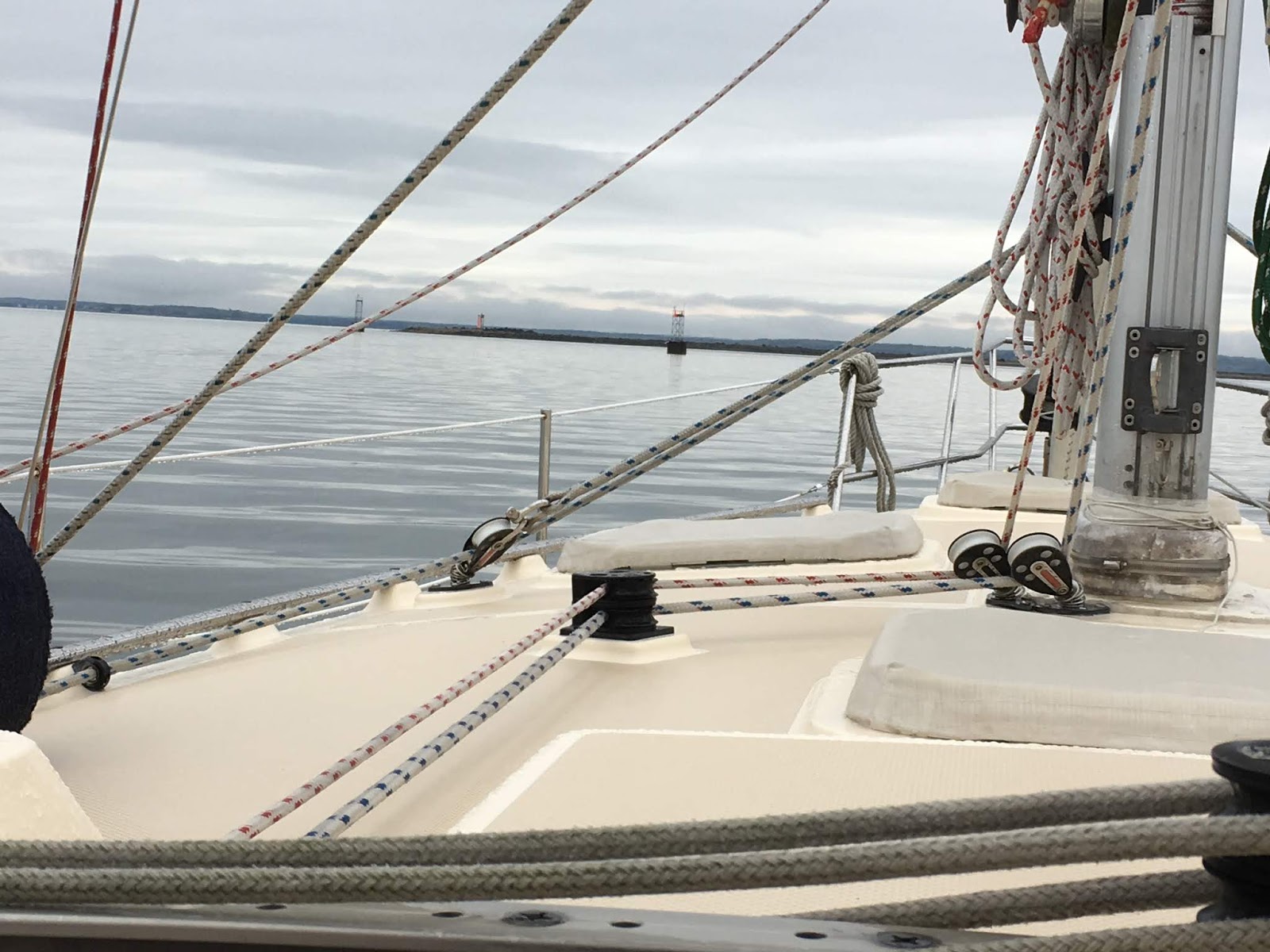
We left Gloucester at 6 am in the calm grey; no waves, no sun, no wind.

 Thatcher and Milk Islands along the way

The greatest moment and one of the greatest ever sailing was seeing huge, like really huge splashes near the horizon.  Whales!  Too far away for my crummy camera to capture but huge in the eyes of the binoculars.  Wow!  Breaches high above the water, about 4 or more whales.  Really a once in a lifetime kind of sight.  They kept going for about 20 minutes.
Wish I could draw a picture.  Really the kind of thing you need to see in person.  They are so big.  I think they were Right Whales or Humpbacks.

The rest of the 12 hours up to Portland was a view of heavy and light fog.  We came closer to Cape Elizabeth where I lived for almost 10 years. The first lighthouses we almost see are known as 2 lights that usually have a significant fog horn, but strangely not today.  On the land side there is 2 Lights State Park.  Cape Elizabeth has the most parks and greatest public access to the water of any of the Portland suburbs.  Then famous Portland Head, a lighthouse that was commissioned by George Washington and one of the most visited lighthouses because it is easily accessible located in beautiful Fort Williams Park.
We motored out of the fog into the sun and put our sails up to sail into town.


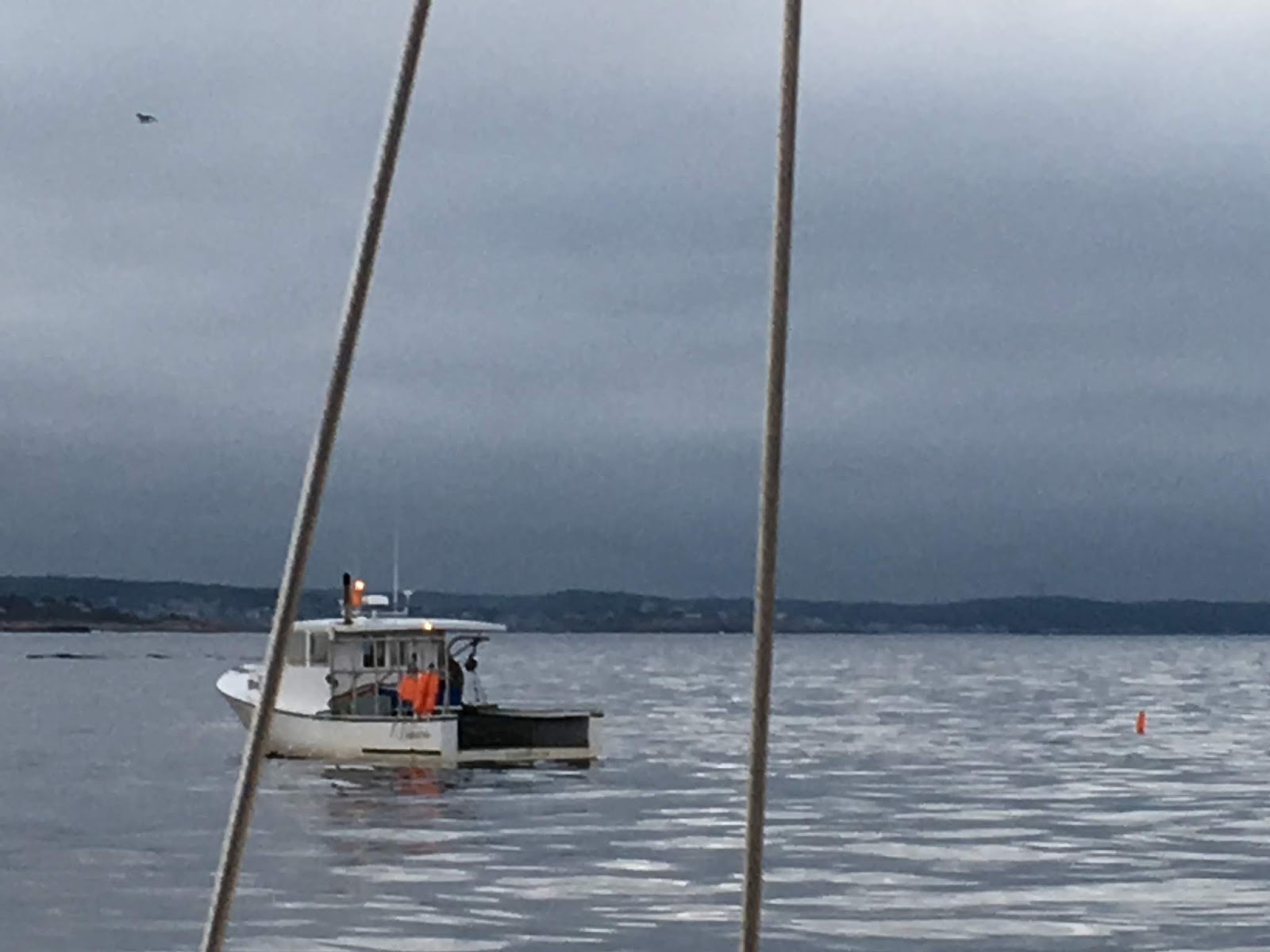
We head down the channel with House, Little Diamond, Cushing and Peaks Islands to the north and South Portland on the south into the busy port with ferries, cruise liners, tankers, cargo ships, sail and motor boats, schooners, a real working harbor.

The next light is Spring Point Light


Next is Bug Light off Thompson Park where they often have kite festivals. Also a great viewing spot for 4th of July fireworks that are set off Eastern Prom.


Continuing into Portland Harbor, Casco Bay we head toward the draw bridge, 2nd largest in the world seeing a lot of boats along the way.


One large German cruise ship was on its way out with no tug boats, all bow thrusters to push away from the dock and head out to sea.  Portland Harbor is also one of the deepest natural harbors north of Boston.

You can see the size of the yellow ferry compared to the cruise ship.

We passed tourist filled schooner ships that give sunset cruises in the summer with Portland Head Light in the background.

Constant ferry service through the Calendar islands.   As you can see this is one of the best sailing areas in the world with picturesque views everywhere and little harbors and anchorages tucked into all the islands.


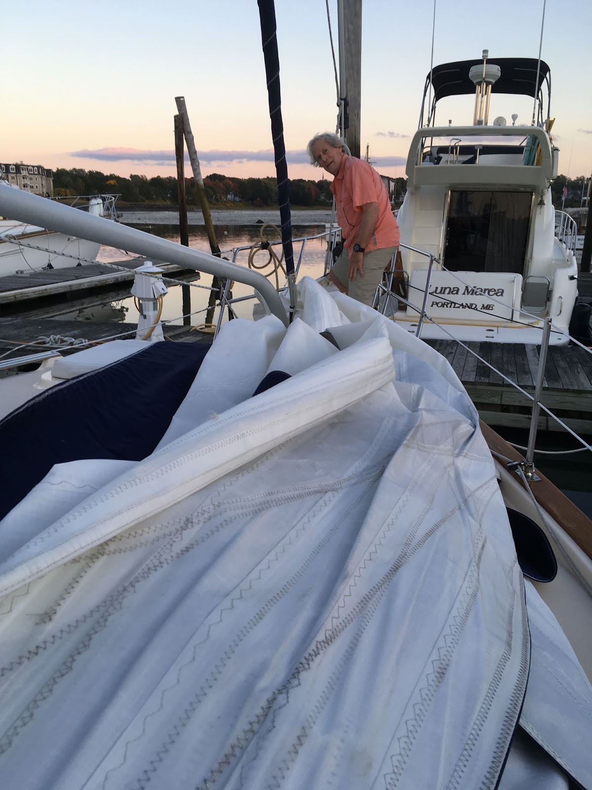
We motored into the South Port Marine slip at 6 pm southportmarine.com , the marina most protected and closest to the drawbridge with a view of Portland.   It's nice because it is near good restaurants, a market and cafes.  The down side is it is in the flight path for the airport and has planes fly overhead as they land.  We had dinner with 4 friends at the nearby Snow Squall Restaurant.
  Mid October we will take the boat over to Maine Yacht Center maineyacht.com to be hauled out and stored in the large shed.
Until we sail again, Ciao.

Tuesday, September 18, 2018

Marblehead to Gloucester, MA on our way to Portland, ME

After a pretty horrendous summer of sickness, as we're calling it, we hopped aboard Shawnee to motor/sail up to Portland, Maine near Maine Yacht Centermaineyacht.com   Maine Yacht Center has by far the best maintenance and repair operation on the east coast.  We've visited quite a few and this place is great. Brian Harris runs a good shop for indoor and outdoor storage.  We took 2 days for the 14 hour run.  First night in Gloucester, 2 hours from Marblehead.
   Drew at the helm.

  We started from our Marblehead mooring on Friday, Sept. 14th in the afternoon and had  patchy fog.  Sometimes it was pea soup.


Just wanted you to hear an authentic fog horn...kind of a soothing sound.  This is when buoy bells or horns are helpful.  At times visibility was about 30 yards.  That's when you follow your instruments and watch the radar screen in case something big is up ahead.
On the Ipad Navionics we are the red arrow.  It shows our projected course; the red line is our track and the blue is the course we set.  The Garmin 547 has the true course that we follow exactly with radar overlay.  It feeds the autopilot and is another screen at the helm.


It was very patchy and then some moments it would lift completely so we could see.  Other times we were floating on grey sky and sea.  The sea temp was about 64 and the air was 77.


 A lobster boat and the wind turbines on shore.

We motored into Gloucester's Eastern Point Yacht Club inside the breakwater and picked up an empty mooring ball about 5:15 in the sun.  They take reservations through the app Dockwa -- $50 for our size boat.


The launch came around at it's last delivery of the day, stopped just long enough to say, "Pay through Dockwa." and sped off.  No welcome or description of services.  Later we looked on the website and saw that they have dinner in a nice clubhouse and other facilities.
Here's a nice typical New England summer home with dock and fishing boat just off our bow.


And at the end of the easy windless, sunless, calm day always the sunset over Gloucester.

 We had a nice dinner on the boat.  The next morning we were up at dawn for the 12 hours to Portland, 6 to 6.
          sunrise Saturday, Sept 15th.

Eased out of the breakwater area passed the lighthouse and many flag buoys that so many cruisers complain about. 


It is so easy for boats with deep keels to get caught on these lobster buoy lines.  You may have auto pilot but you must watch constantly for these.  We have a full keel and protection over to the rudder so it doesn't affect us.  We have run over these.
  Again you can see the sunless, waveless, windless weather.  Again we had periods of No Service on our phones and no visibility because of patchy fog. Still temperature was mid 70s. 

Tuesday, June 5, 2018

Blogger disclosure from EU Google and Boat Logs sailing Marblehead


From the management:  We are supposed to let you know about these policies because it's only fair.

https://policies.google.com/technologies/partner-sites

                 *                                              *                                           *

THE best log book and we've tried several.  This is it for ease of use.

https://www.westmarine.com/buy/evergreen-pacific--the-evergreen-pacific-log-book--561407?recordNum=1

This one does not come up when you google boat logs.  However, they should put their product on the search because it is unlike the other bound books.  The cover of the log has a surface that doesn't absorb water, and it's spiral bound.  Note the side tabs for quick access.  I just put a label on the front for the date.


Another popular log is the Nouse Red log book.  It has a lot of good check lists on its pages to remind the captain to check all the areas.


It's great for as-you-go, but there is no fuel log or maintenance tabbed pages to check quickly when you buy fuel or want to see when you installed something, pump outs, boat fixes, etc.  The date in the Red book is on the lower right not at the top of the page so I write it in.

HURRAY  GOING SAILING

We sailed with Drew's, sister and brother, and nephew in Marblehead when they visited us after our nephew, Jason's wedding after Memorial Day weekend. 
 Gabe, Graham, me, Sara, and Drew.


It felt great to be back in Marblehead Harbor, see Marblehead Yacht Club, fall into our old routines, Shubie's Deli, Java House, etc.  There was little wind, but just nice to take them on a gentle outing. 

Note the glassy seas with little wind. 
The Harvey Gamidge, a training rig for sailors, has full sails but may have an engine on.


Sailing back into the harbor with a gentle south wind on the nose.  Note all the boats are facing the causeway at the end of the harbor.   A lot of mooring balls lie empty awaiting the boats to totally fill this harbor with over 1,000 boats.
Ciao,
Until we sail again.

Sunday, May 20, 2018

RED BROOK HARBOR, POCASSET, MA CAPE COD TO HOME PORT

On our way -- the last leg of the trip.   Capt. Drew has kept the boat running well and problem free this trip.  Amazing that we didn't have anything go wrong he couldn't fix.  Smooth waters most of the time.  Even in small swells the stove is on a gimble and swings with the motion.  Scrambled eggs stay in the pan.


No sailing, but very comfortable on the boat.


Gray days with all of the fog and clouds.

We got into Parkers last night and grabbed a mooring ball.  It was super easy because there was zero wind.  Two ropes tied down the line to the cleats.  Quiet night except for a steady drizzle.  Took Mazu out to the bow a few times. She is just excited but won't go.    The water is glass.  I could imagine it as ice.  I'd put on my skates, slide off the boat and skate to shore.  This water is so smooth, like a mirror.


Going out of Red Brook Harbor there is a light house on a point, Wings Neck with a red and green traffic control light.  You can just see the green light on the watch tower.  Very New England.  Air temperature is about 55 degrees.  No more shorts and flip flops - now long pants, a sweater, jacket and sneakers.


The Cape Cod Canal can be very tricky because it has a 4 to 5 knot current that can boost the boat or cause terrible motion if going against it.  Sailboats have to go with it.  Drew read up in an old Eldridge information about the Canal and figured we needed to go on the "flood" tide that runs to the east from Buzzards Bay to Cape Cod Bay. Checking the times of the tides and currents he found it was best to leave early morning; 6:45 am.


 This railroad bridge is a lift bridge.  It's mostly open but closes 2 to 4 times a day and no one can predict when except to say between 7 and 11 am and then in the afternoon between 3 and 6pm.  It carries out the Cape Cod trash.  During the summer there are a couple of passenger trains Friday - Sunday.  We hoped to hit it right and luckily we did at 7:30 am.


Through the canal we hit 11.2 K zooming right through.  We stopped at Sandwich Marina at the mouth of the east end for fuel.  Instead of 2 hours at 6 knots it took a little over 1 hour at the increased speed.
Here is the fuel dock and Shawnee tied up for a fill up.  Note our yellow dinghy on the stern, "Tweety."  I ran Mazu up the hill for a break.  It was hard for her to choose to come back on board.

 We scooted back into the current of the canal and headed east for Cape Cod Bay.
Out of the canal you can see we were able to just stay ahead of the rain.   We're the blue dot heading toward Boston.  (Took a picture of the weather app on my phone.)


Since Cape May, NJ we have noticed a ketch running parallel to us.  Sometimes way out on the horizon, entering Block Island at Salt Pond just ahead of us, and now coming out of the canal at the same time.  She is "Micky Finn,"  a 50 ' ketch and travels much faster, but somehow we've stayed together.  Drew talked with him on the VHS radio and found out he's from Portsmouth, NH.  Wish we could send him this picture.  It's always hard to get a picture of your own boat.  Today the sea melts into the steel blue sky like floating on air.


So sayonara til we "sail" again.  Maybe sail into some sunsets that we haven't had lately with all the gray skies. 

We sailed into our mooring in Marblehead Harbor on Thursday afternoon.  In time for the champagne tasting at Shubie's we came aboard with delicious takeout salmon and treats for dinner with this final sunset.


Homw sweet home with Abbot Hall's spire sticking up on the horizon and not too many boats on their moorings yet.  Happy day everyone.  Thanks for traveling along with us.  I'll blog the next time we head out for a real Marblehead sail.